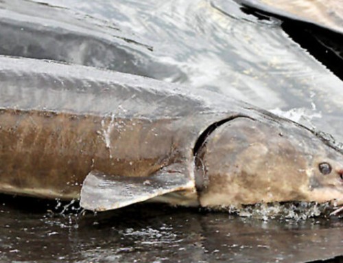
Lake Winnebago is a huge inland body of water spreading over 130,000 acres. The vast majority of the lake is considered a mud flat, while a small portion of the lake consist of rock bars, transitional zones, and hard bottom.
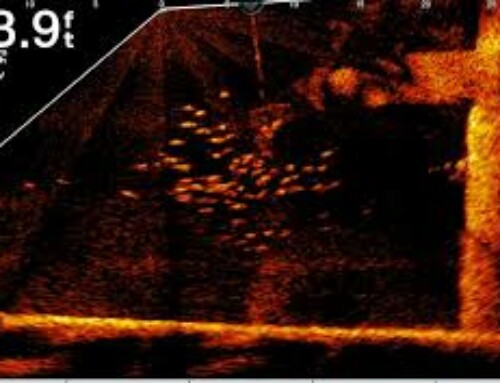
With Lake Winnebago having depths up to 21 feet deep, generally the Winnebago mud is referred to as areas in excess of 15 feet, where no structure exists. The lake bed is made of mud, and really offers no substantial features. This area often has suspended walleyes continually on the move in search of meals.
One thing is certain, there is no exactly defined area which makes up the Winnebago mud. Ask 100 anglers where the Winnebago mud is, and you would get 100 different definitions. The term “mud” is generic and really refers to the central basin of Lake Winnebago.
In many areas of the lake where structure exists, there will be a “transition zone” which leads to the mud flats. The transition zone typically has small gravel like rock spread over a large area and is separate from a reef. These areas tend to be in the 8-14 foot depth ranges. The transition areas will commonly hold walleye and especially perch.
Attached is a map of the main mud area. This map is a reference only, and some anglers would include additional areas, or subtract segments from our map.